


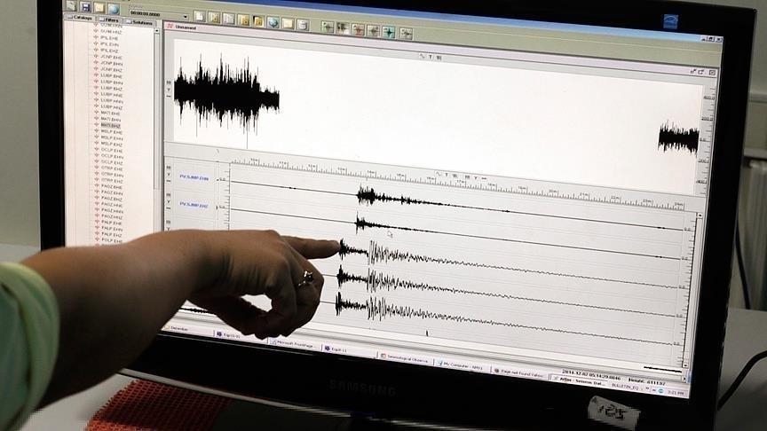
The Euro-Mediterranean Seismological Centre (EMSC) reported on the evening of Tuesday, March 17, 2026, that a revised earthquake of magnitude 4.4 on the Richter scale was recorded off the coast of the Strait of Gibraltar, after initial estimates indicated a lower magnitude.
According to the same data, the earthquake occurred at a depth of حوالي 97 kilometers, at coordinates 36.0324° North and 4.5921° West, approximately 69 km east of Gibraltar and 60 km southeast of Marbella, Spain.
According to citizens’ testimonies, the tremor was felt lightly to moderately in several northern Moroccan cities, including Tangier, Tetouan, M’diq, Fnideq, Larache, Ksar El Kebir, Ouazzane, as well as Kenitra and Rabat, with no damage reported so far.
The EMSC’s “Felt reports” platform also recorded dozens of testimonies, especially from southern Spain (Malaga and surrounding areas), where residents described the tremor as “noticeable but not alarming.”
It is worth noting that the Strait of Gibraltar region is considered a seismically active area due to its location at the boundary between the African and Eurasian tectonic plates, which explains the occurrence of periodic earthquakes of varying intensity.